We will be closed from Friday, April 18th, until Monday, April 21st, for Easter. We will reopen on Tuesday, April 22nd. Please note that we will also be closed on Friday, April 25th, for ANZAC Day.
SKU: 9781921886331
Brand: HEMA

$16.94

In stock ready to ship

Select Quantity:

Shipping Estimate

Got a question about this product?
Ask us here on the below form.

Coverage:

  • North: Paynesville, Metung and Lakes Entrance in the south. Dinner Plain, Omeo and Mount Nugong .
  • Includes Dargo, Mitchell River National Park, Swifts Creek, Cobungra, Victoria Falls & Cassilis.
  • Deptford, Bullumwaal, Mount Baldhead, Haunted Stream and a huge amount of forest in between.

3rd edition waterproof map that features the East Gippsland rail Trail which can be followed from Bairnsdale to Colquhoun, south-east of Bruthen.

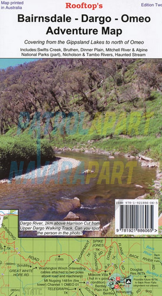
Scale is 1:100,000. The reverse of the map has a 1:50,000 scale enlargement ‘Dargo – Swifts Creek Forest Activities Map’ with contours.

All parks, reserves and state forests are shown and more than 6000 km of roads and tracks have been plotted using GPS mapping technology.

From the Gippsland Lakes into The Victorian High Country.

User Reviews

  • Be the first to review this product.

Please Login to add your review.