Patrolapart/Navarapart will be shut on ANZAC day, the 25th of April and Friday the 26th. Any orders placed during this time will be processed the following Monday, the 29th of April in the order that they are received. Lest We Forget
Meridian Map Dandenong Ranges & Lysterfield Hills 1st Edition
SKU: MERDAND

$10.95

In Stock in our Warehouse
  • Visa Card
  • Master Card
  • ANZ
  • Paypal
  • Android Pay
  • Apple Pay
  • Zip Pay

Shipping Estimate

Select Quantity:


Got a question about this product?
Ask us here on the below form.

Meridian Map Dandenong Ranges & Lysterfield Hills 1st Edition

Description

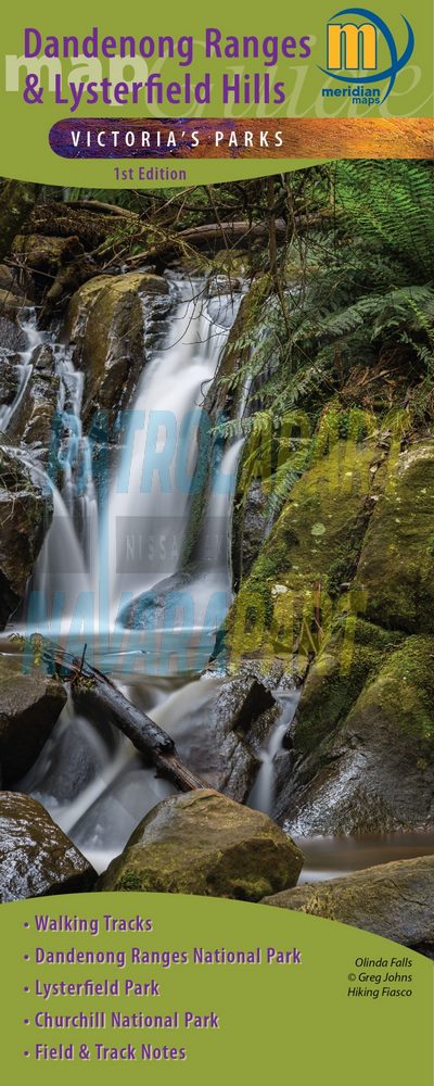
Double-sided 1:20,000 scale map of the Dandenong Ranges and Lysterfield Hills. First comprehensive map which covers all the parks in the area including Dandenong Ranges National Park, Churchill National Park and Lysterfield Park. 32 walks are described including the Dandenong Trail and the Dandenong Tourist Track. Shows all tourist sites, local producers, picnic grounds and walking tracks, in and around the parks. Ideal for bushwalkers, day-trippers, mountain bikers and holidaymakers.

  • 1:20,000 Scale Maps
  • First Edition publishing December 2021
  • All new mapping
  • Dandenong Ranges Trail
  • Dandenong Ranges Tourist Track
  • Dandenong Ranges National Park
  • Churchill National Park
  • Lysterfield Park
  • Track notes to 32 walks
  • Mountain Bike and other Tourist information
  • Map size 600mm(W) x 750mm(H) flat
  • ISBN: 9781920958442

Please check out all the other maps we have available in our online store.

User Reviews

  • Be the first to review this product.

Please Login to add your review.