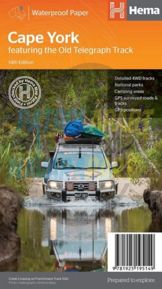
Featuring The Old Telegraph Track
Regional Touring Map featuring the whole of Cape York from Innisfail, Croydon, Georgetown and Normanton to Torres Strait. Features include detailed 4WD tracks, Camping Areas, GPS surveyed roads and tracks, GPS positions and grid.
Additional product information
| Edition | 14th edition. |
| Publication date | 2017 |
| Map Scale | 1:1,000,000 scale for the main map and a 1:250,000 scale map showing an enlarging version of the Cape York Tip. |
| ISBN | 9781925195149 |
Please check out our other maps and books for sale.