We will be closed from Friday, April 18th, until Monday, April 21st, for Easter. We will reopen on Tuesday, April 22nd. Please note that we will also be closed on Friday, April 25th, for ANZAC Day.
SEARCH BY VEHICLE
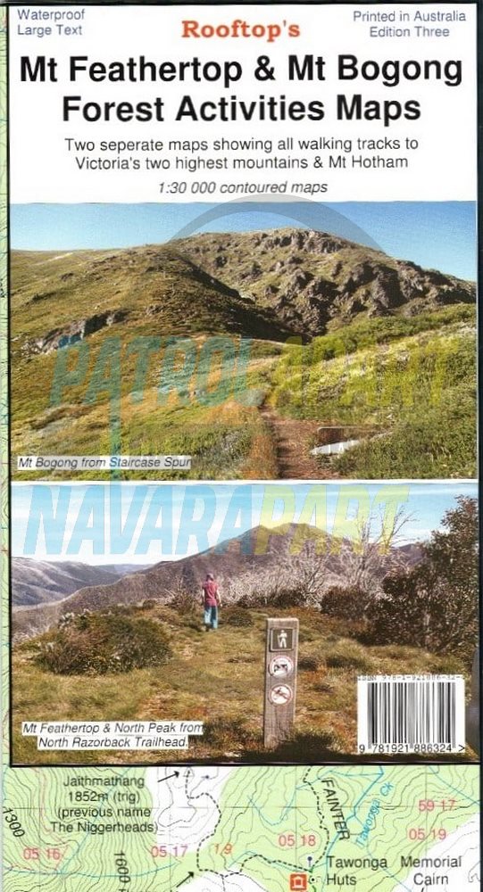
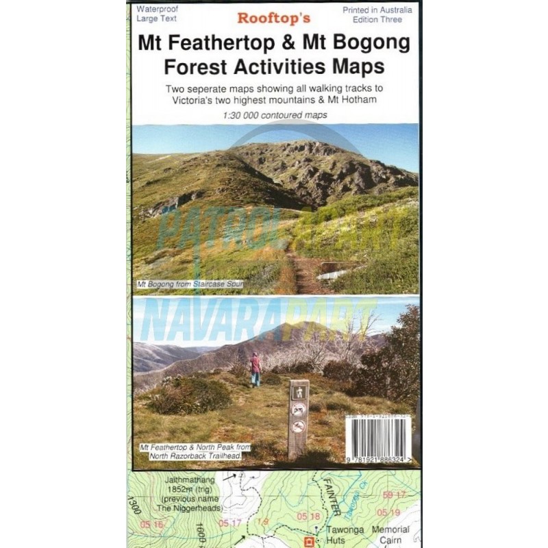
Mt Feathertop / Mt Hotham Forest Activities Map - (Rooftop)
Rooftop Map Mt Feathertop & Mt Bogong.
Covering Victoria’s 2 highest mountains, all the walking tracks are shown on this map. Also covers Mt. Hotham.
Two separate maps.
Main side:
Reverse side:
Scale: 1:30,000
Waterproof Map 2022.
Please check out our other maps and books for sale in our online store.