Patrolapart/Navarapart will be shut on ANZAC day, the 25th of April and Friday the 26th. Any orders placed during this time will be processed the following Monday, the 29th of April in the order that they are received. Lest We Forget
Toolangi - Black Range Forest Activities Map 3rd Edition - Rooftop
SKU: 9781921886140

$11.95

In Stock in our Warehouse
  • Visa Card
  • Master Card
  • ANZ
  • Paypal
  • Android Pay
  • Apple Pay
  • Zip Pay

Shipping Estimate

Select Quantity:


Got a question about this product?
Ask us here on the below form.

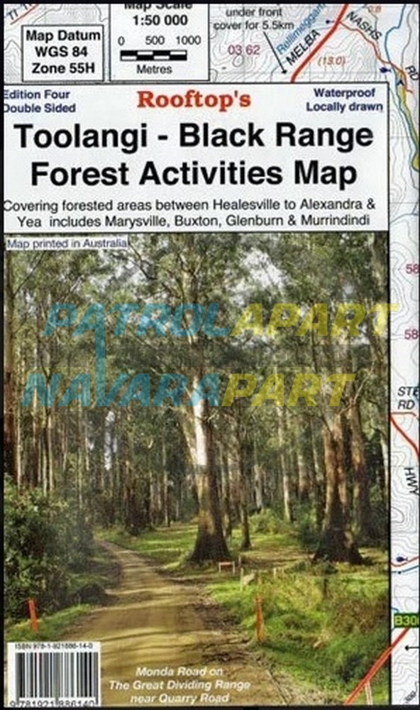
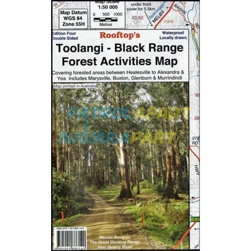
Toolangi - Black Range Forest Activities Map 3rd Edition - (Rooftop)


Between the Maroondah & Melba Highways

Coverage includes Toolangi, Murrindindi, Buxton, Narbethong, Wilhelmina Falls, Stanleys Homestead, Alexandra, Taggerty, Molesworth, Glenburn, Limestone, Cheviot Tunnel.

Facility symbols include Camping Areas, Caravan Parks, Picnic Areas, Fishing Spots, Lookouts, Fuel and Fire Towers.
The 1:50,000 scale map also includes, roads, vehicle, motorcycle and walking tracks; contours, elevations, and GPS co-ordinates.

Please check out our other maps and books for sale.


User Reviews

  • Be the first to review this product.

Please Login to add your review.