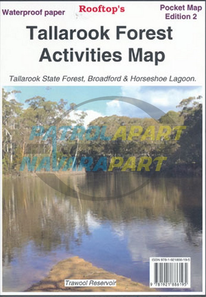
Tallarook Forest Activities Map (Rooftop)
An interesting little forest
Coverage includes Tallarook State Forest, Mount Hickey, Warragul Rocks, Falls Creek Reservoir, Horseshoe Lagoon (Goulburn River), Freemans Camp.
Facility symbols include Camping Areas, Picnic Areas, Fishing Spots and Fire Towers.
The 1:50,000 scale map also includes, roads, vehicle, motorcycle and walking tracks; contours, elevations, and GPS co-ordinates.
2ND Edition and published in 2014
Please check out our other maps and books for sale.