SEARCH BY VEHICLE
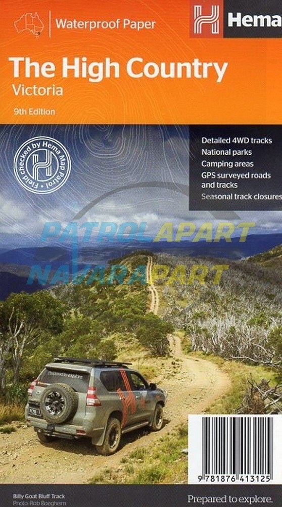

High Country, Victoria Map - (Hema Maps)
Strong waterproof paper
Coverage extends from Mansfield in the west to the Snowy River National Park in the east and from The Gippsland Lakes in the south to Myrtleford, Bright, Mitta Mitta, Perisher Valley and Tom Groggin in the north, including the Dargo, Licola, Omeo, Bogong and Wonnangatta areas etc.
The map has been printed on durable waterproof, super strong, synthetic paper.
Hema regional maps have a GPS grid, road distances, camping areas, fuel availability, national parks information, long distance hiking trails and lots more.
Scale - 1:200,000
Additional product information
| Edition | 9th edition. |
| Publication date | 2017 |
| Map Scale | 1:200,000 scale. |
| ISBN | 9781876413125 |
Please check out our other maps and books for sale.