SEARCH BY VEHICLE

Edition Three 2016
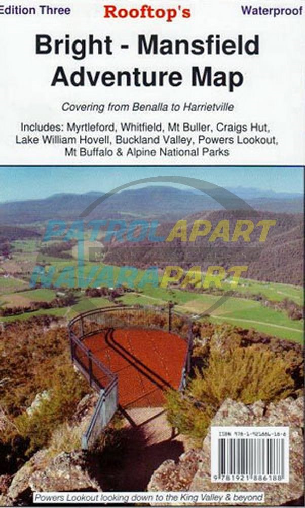
The perfect map for exploring Bright's alpine area Map coverage is from Myrtleford, Bright, Moyhu and Benalla in the north to Mansfield, Mount Buller and Wonnangatta Station in the south. It includes Whitfield, Harrietville, Buckland, Buffalo River, Mount Buffalo, Powers Lookout and part of the Alpine National Park.
Scale is 1:100,000. The reverse of the map has a 1:50,000 scale enlargement titled 'Bright - Whitfield Forest Activities Map' featuring Mount Buffalo National Park. All parks, reserves and state forests are shown and all roads and tracks have been plotted using GPS mapping technology
Please check out our other maps and books for sale.