Patrolapart/Navarapart will be shut on ANZAC day, the 25th of April and Friday the 26th. Any orders placed during this time will be processed the following Monday, the 29th of April in the order that they are received. Lest We Forget
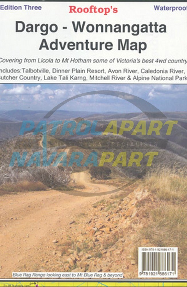
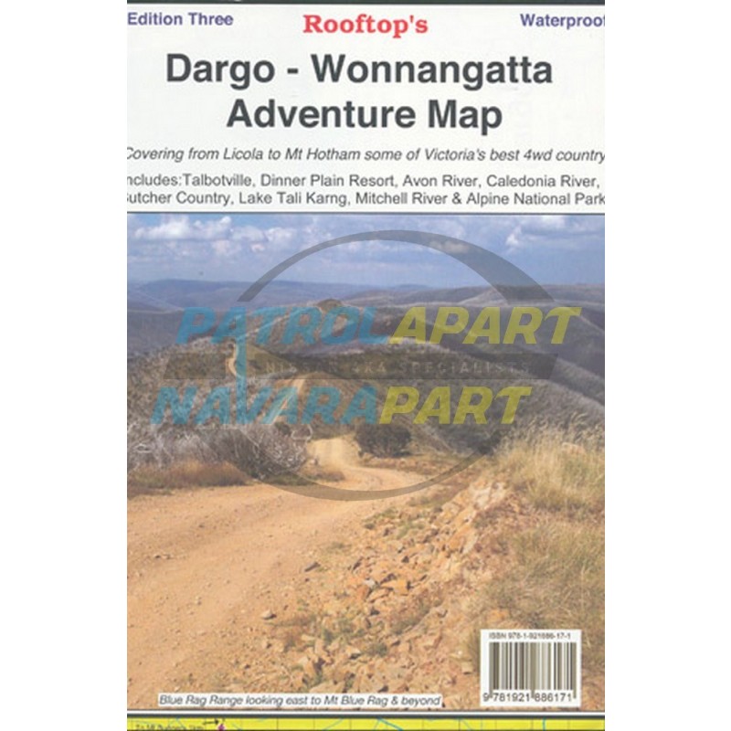
Map coverage is from Licola to Mount Hotham and from Briagolong to the Buckland Valley and everything in between including access routes into Wonnangatta Station, the Crooked River goldfields, Upper Dargo goldfields and Mitchell River National Park. As well as detailed road and track information, there are lots of useful tips and warnings noted agains various tracks.
Scale is 1:100,000. First published last revised in 2006. See extract. The reverse side has a 1:50,000 scale enlargement titles Dargo - Howitt Plains Forest Activities Map providing more detail for Wonnangatta valley, Crooked River and the Howitt Plains near Licola.
Once you fill in your email address below and click continue, you will be notified when this item comes back into stock by email.
You also have the option below to log in to your account or register a new account.